Wander Further: Seasonal Itineraries for Car‑Free Rural Rambling
Smart Planning Without the Driver’s Seat
Timetables That Work for Walkers
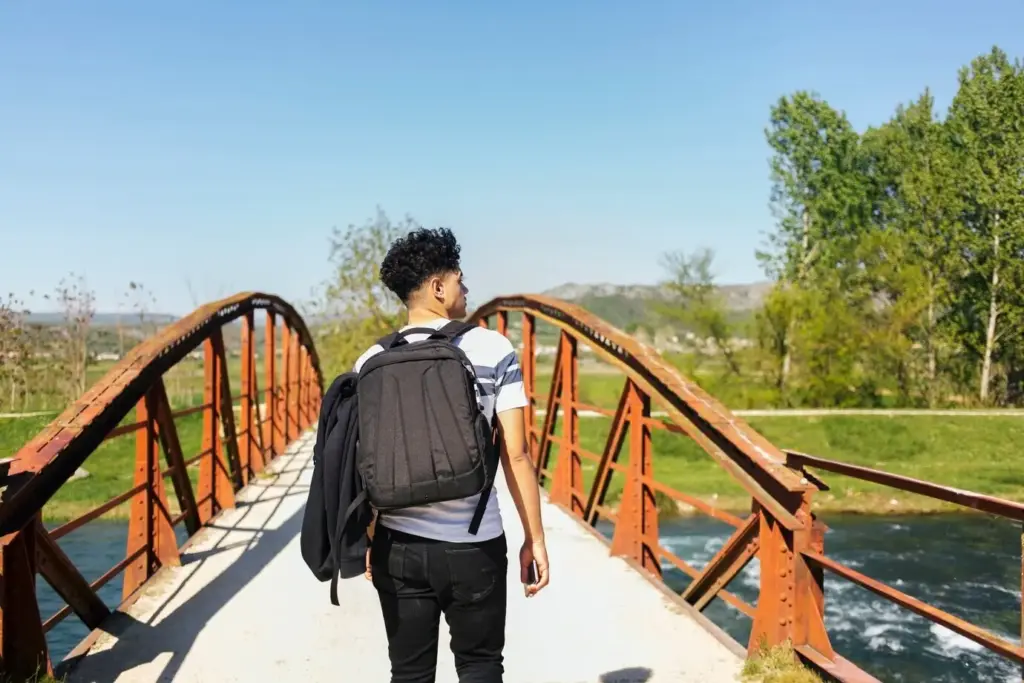
Trail Linking and Station-to-Station Routes

Bluebell Circuits and Wildflower Meadows
Birdsong Dawns by Train
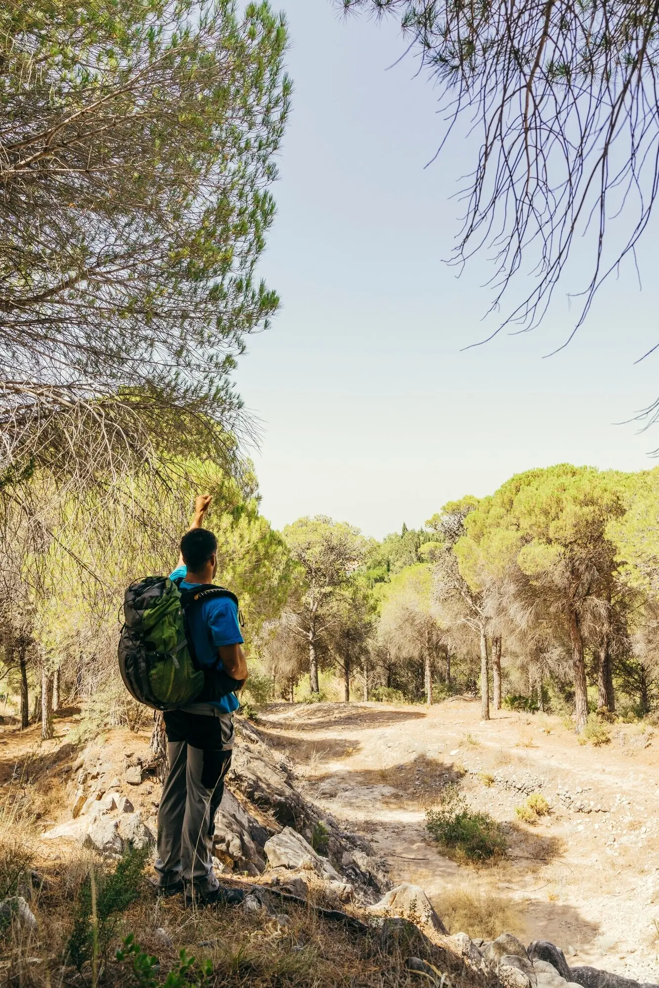
Summer: Long Days, Cool Streams, Quiet Lanes

Foliage Loops from Branch Line Stops
Choose sleepy halts where a single platform opens onto woods, streams, and ridge paths. Map a loop that samples viewpoints and picnic spots among rustling beech, then rejoin the line downwind. Check engineering works in advance; leaf‑fall can coincide with weekend service changes.
Farm Shops, Orchards, and Tasting Trails
Let bus schedules guide gentle tastings of juice, cheese, or bread, keeping walking times short between stops. Carry reusable containers, mind budgets, and ask growers about footpath conditions. A chatty vendor once tipped us to a hidden bridleway that saved a muddy mile.
Rain‑Ready Navigation and Path Care
Mizzle and showers can make signage vanish into foliage. Waterproof maps, gaiters, and extra socks keep spirits high. Step around saturated verges, not through them, and report damaged stiles to councils. Ending near a village hall often reveals toilets, shelter, and bulletin boards.

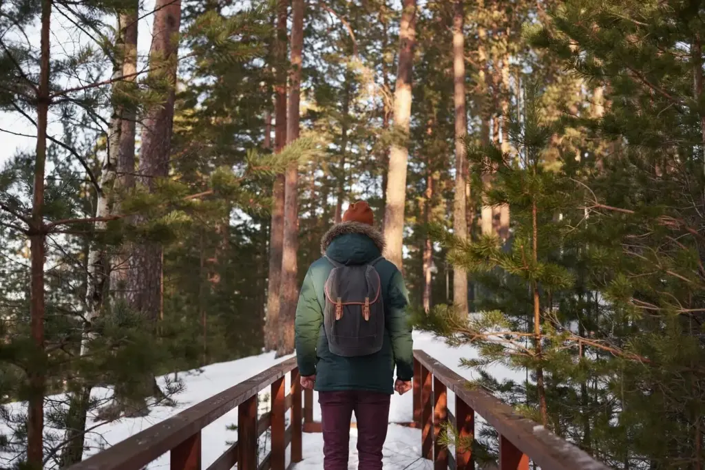
Frosted Ridge Walks with Warm Returns
Storm Checks, Shortcuts, and Exit Points
Tools, Maps, and Community Wisdom
Apps That Sync Maps with Timetables
Experiment with tools that overlay footpaths and live departures, but always verify with official sources. Save station and stop codes, and export GPX tracks to multiple apps. When signals fade, you will still know where to aim and when to pause for services.
Offline Skills for Remote Miles
A compass, paper map, and practiced pacing transform uncertainty into calm. Count steps between features, read contours like stories, and check bearings at every junction. Share simple waymarks in comments so newcomers can replicate success without relying entirely on batteries or reception.
Share Your Route and Help Others
Post links to your favorite station‑to‑station loops, annotate tricky stiles, and flag seasonal closures. Mention restrooms, refill taps, and photo spots. Your notes turn scattered maps into welcoming journeys for strangers, and your subscription keeps new ideas arriving just before each weekend.